
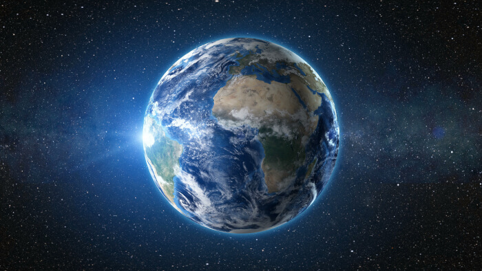
Marble is a small interactive virtual globe and world atlas that you can use to learn more about Earth: Just like a real atlas or a conventional globe Marble allows you to freely move across its map and lookup places.
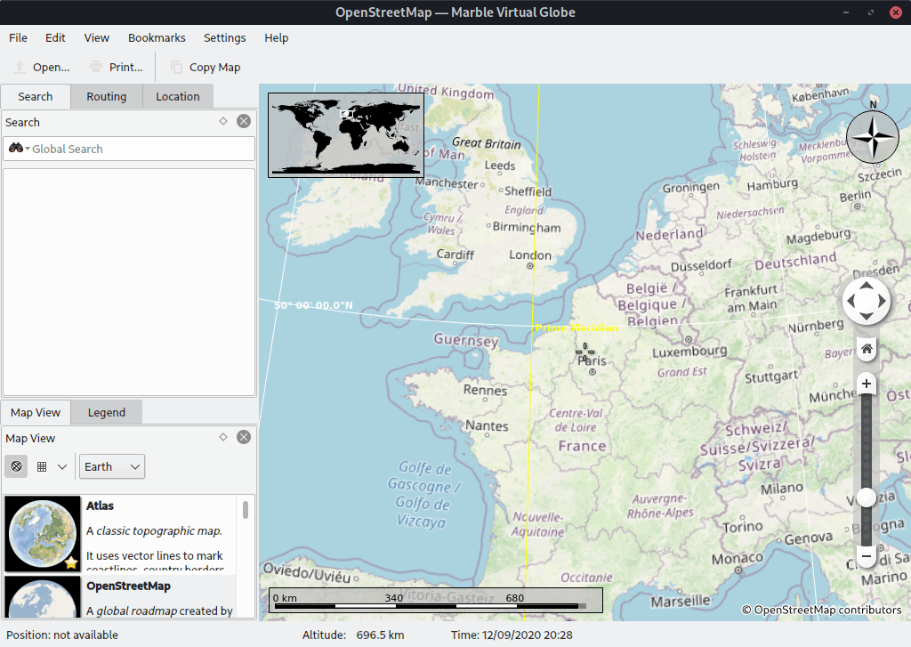
Furthermore Marble allows you to zoom in and have many different views on the surface of the Earth A mouse click on a place label will provide the respective Wikipedia article.
Marble is intended to be very flexible; beyond its cross-platform design, the core components can easily be integrated into other programs.
Key Features
- 11 different views:
- Atlas.
- OpenStreetMap.
- Satellite View.
- Earth at Night.
- Historical Map 1689.
- Moon.
- Plain Map.
- Precipitation (July).
- Precipitation (December).
- Temperature (July).
- Temperature (December).
- Uses a minimal free dataset that can be used offline.
- Uses Arthur as a 2D painting backend. Depending on hardware and the maps being displayed framerate is approximately 5-20 fps.
- Uses vector as well as bitmap data: Currently it uses the MWDB II data combined with SRTM.
- Different Projections: Globe, Flat Map, Mercator.
- Uses KML-Import to display places (Google Earths open format to store placemarks), Basic GPX support.
- More than 12,000 locations (cities, mountains, volcanoes) which can be searched for. Highest Mountains of each continent. Automatic Placemark label placement.
- Renders popular star constellations.
- Draggable panels.
- Sun Shading, Real-Time Clouds.
- Dynamic Coordinate Grid.
- Measure Tool.
- Route planning capabilities.
- Navigation mode called MarbleToGo.
- Basic Wikipedia integration.
- Starry Sky Plugins.
Website: marble.kde.org
Support:
Developer: The Marble Project
License: GNU LGPL v2.1
Marble is written in C++. Learn C++ with our recommended free books and free tutorials.
Related Software
| Virtual Globes | |
|---|---|
| Quantum GIS | User friendly Geographic Information System |
| OpenStreetMap | A copyright free alternative to Google Maps |
| Marble | Combination atlas/virtual globe |
| GeoMapApp | Earth science exploration, global topography database, and visualization |
| osgEarth | C++ toolkit for rendering geospatial data in 3D |
| World Wind | Virtual globe initially developed by NASA's Learning Technologies project |
| TerriaMap | Build and deploy web-based geospatial data explorers |
| ossimPlanet | Accurate 3D global geo-spatial viewer |
Read our verdict in the software roundup.
| Mapping Tools | |
|---|---|
| Organic Maps | Offline maps & GPS app for hiking, cycling, biking, and driving |
| CoMaps | Community-led maps and navigation application |
| QGIS | GIS that supports vector, raster, and database formats |
| Marble | Virtual globe and world atlas |
| Placemark | Web-based tool for geospatial data |
| JOSM | Extensible editor for OpenStreetMap |
| uMap | Web application for creating and publishing custom interactive maps |
| Map | Wardley map editor |
| Kadas Albireo | Mapping application based on QGIS targeted at non-specialized users |
| TuiView | Lightweight raster GIS |
| Pure Maps | Native map and navigation application |
| Merkaartor | OpenStreetMap mapping program |
| GNOME Maps | Find places around the world |
| VersaTiles | Generate, process, store, serve, and render map tiles |
Read our verdict in the software roundup.
 Explore our carefully curated directory of recommended free and open source software, covering every major software category. Explore our carefully curated directory of recommended free and open source software, covering every major software category.The directory forms part of our extensive collection of articles for Linux enthusiasts. It includes hundreds of detailed reviews, together with free and open source alternatives to proprietary software from companies such as Google, Microsoft, Apple, Adobe, IBM, Cisco, Oracle, and Autodesk. LinuxLinks also covers interesting projects worth exploring, Linux-compatible hardware, free programming books and tutorials, and much more. Know a useful free and open source Linux application that we haven’t covered? Tell us about it using our submission form. |
Please read our Comment Policy before commenting.